Project information
- Name: Danube River Watershed
- Creation date: 2nd November, 2023
- Software: ArcGIS Pro
- Source: N/A
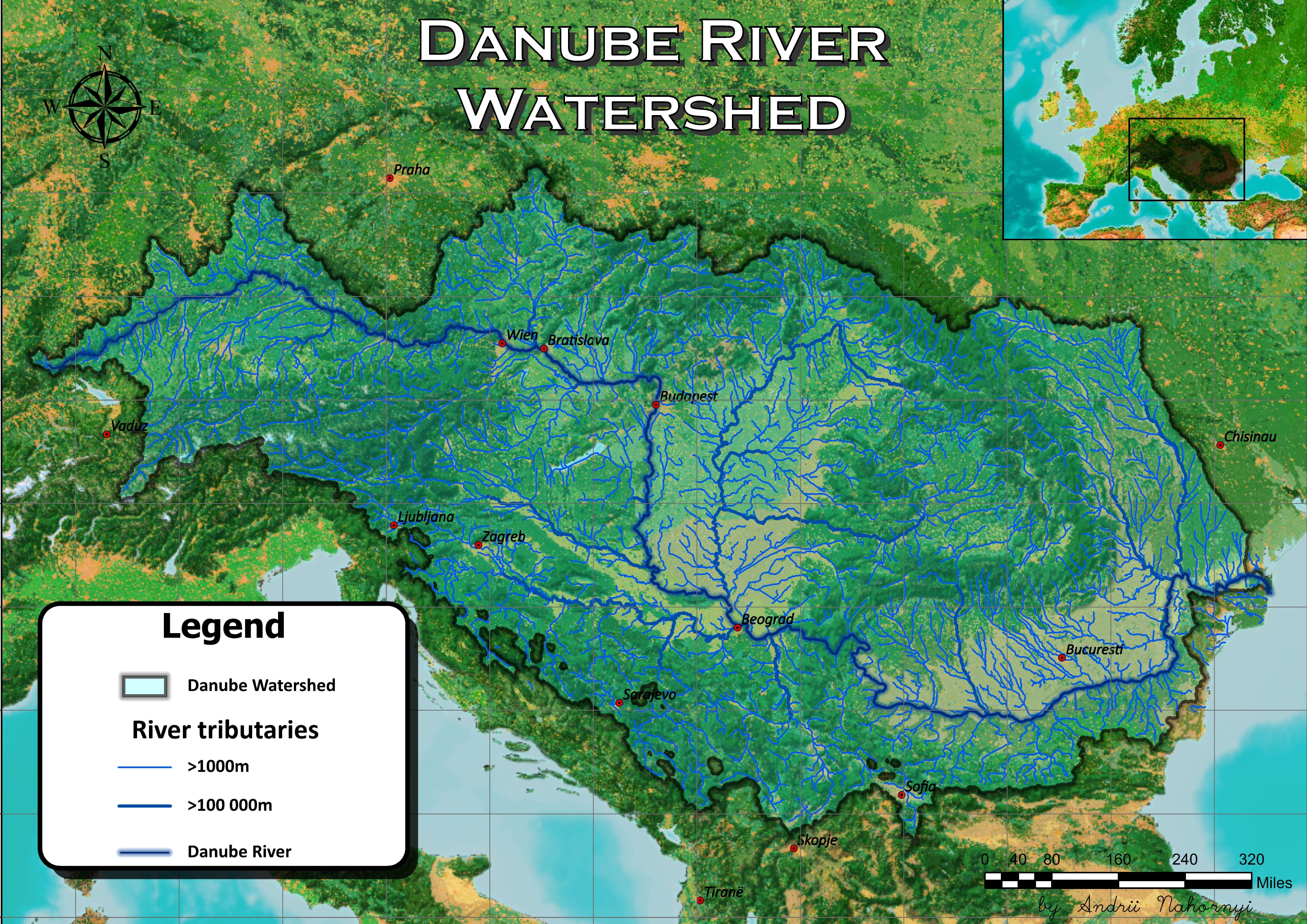
- Description: The Danube River Watershed Map intricately outlines the expansive network of rivers, tributaries, and ecosystems across Central and Eastern Europe. The main stem of the Danube, depicted in blue, weaves through diverse landscapes. The map showcases the interconnectedness of the watershed, illustrating its vital role in supporting biodiversity, local economies, and cultural heritage.
