Project information
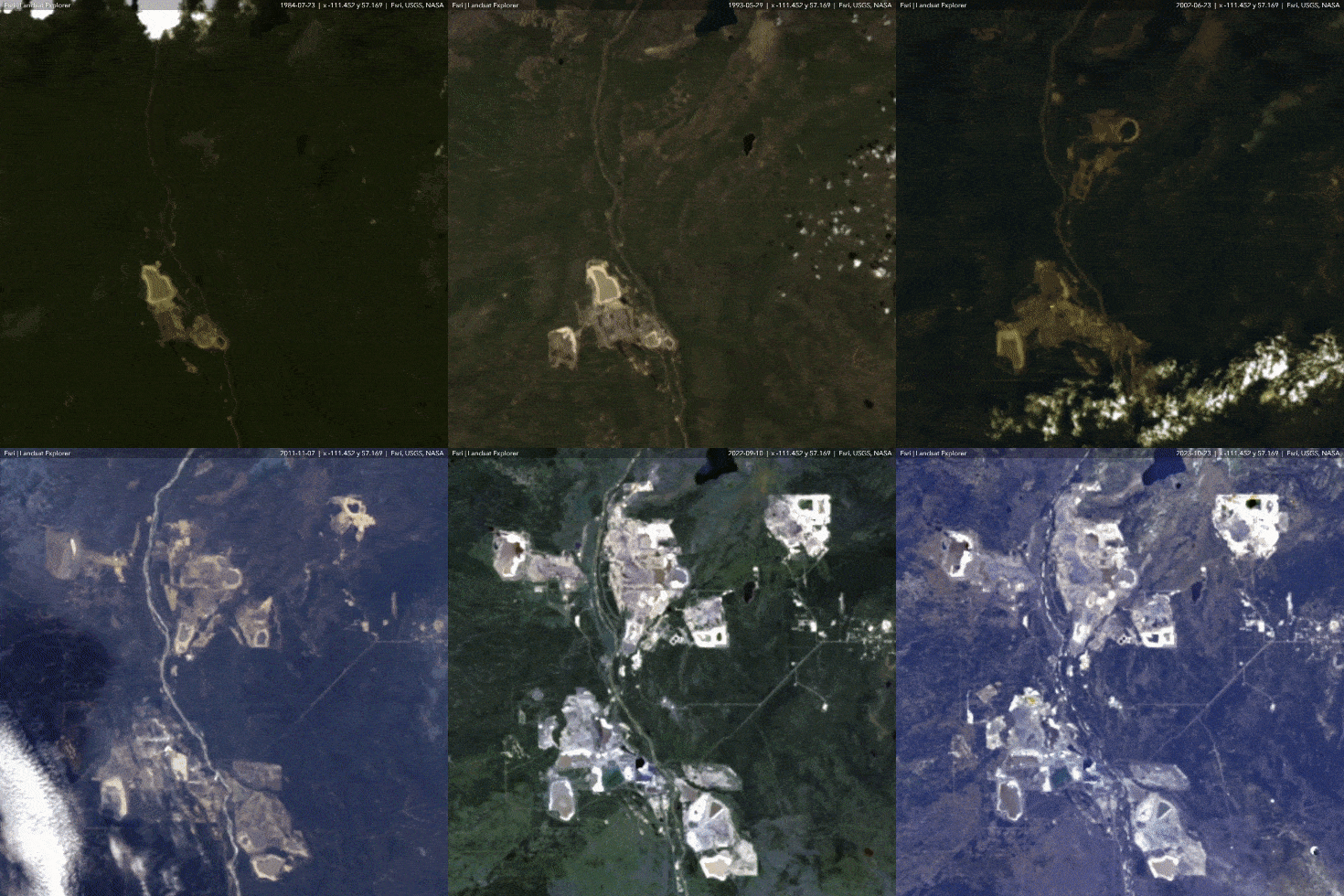
- Name: Northeast Alberta Mining 1984-2023
- Creation date: 16th December, 2023
- Software: ArcGIS Living Atlas Landsat Explorer, Adobe Express
- Source: Esri, USGS, NASA
- Description: This animated map illustrates the dynamic growth and evolution of mining activities, located in the heart of Alberta's oil sands region. Through a series of time-lapse visuals, you can witness the development of various mines, depicting their establishment, expansion, and integration into the local landscape over the years.
