Project information
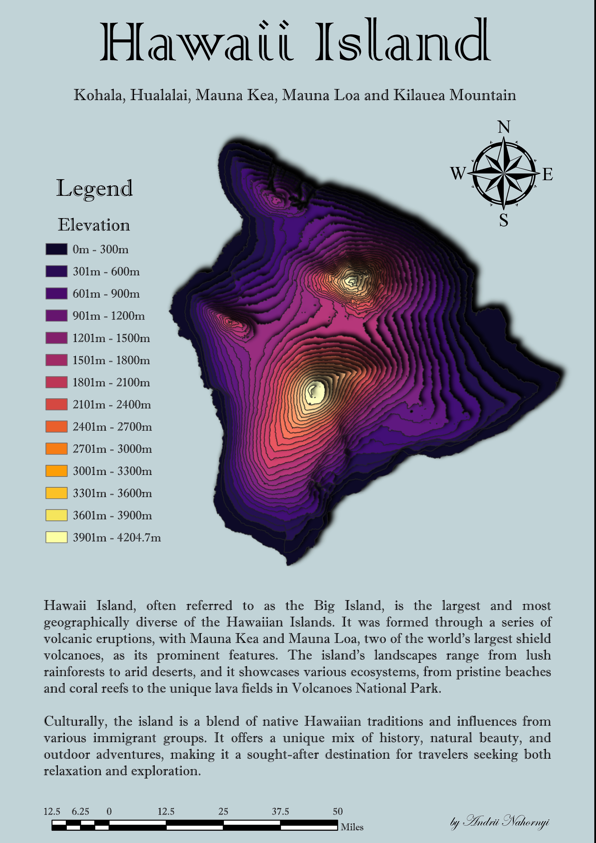
- Name: Hawaii Island
- Creation date: 4th November, 2023
- Software: ArcGIS Pro, QGIS
- Source: USGS, NASA, DATA.GOV
- Description: This map showcasing the elevation of the main Hawaiian Island provides a striking visual representation of the island's diverse topography. From the towering peaks of Mauna Kea and Mauna Loa to the lush valleys and coastal plains, the varying shades and contours on the map capture the dramatic elevation changes across the island.
