Project information
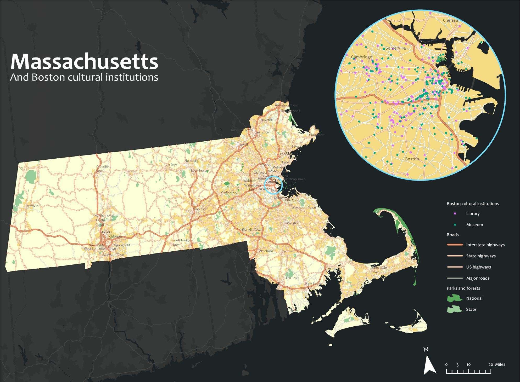
- Name: Map of Massachusetts
- Creation date: 20th February, 2023
- Software: ArcGIS Pro
- Source: N/A
- Description: This map of Massachusetts highlights major cities, main roads, and national parks, providing a concise guide for travelers and locals. It focuses on key transportation hubs like Boston and Worcester, major highways connecting regions, facilitating easy navigation and exploration of the state's rich history, nature, and culture.
