Project information
- Name: USA Zip Codes
- Creation date: 1st November, 2023
- Software: ArcGIS Pro
- Source: Unated States Census Bureau
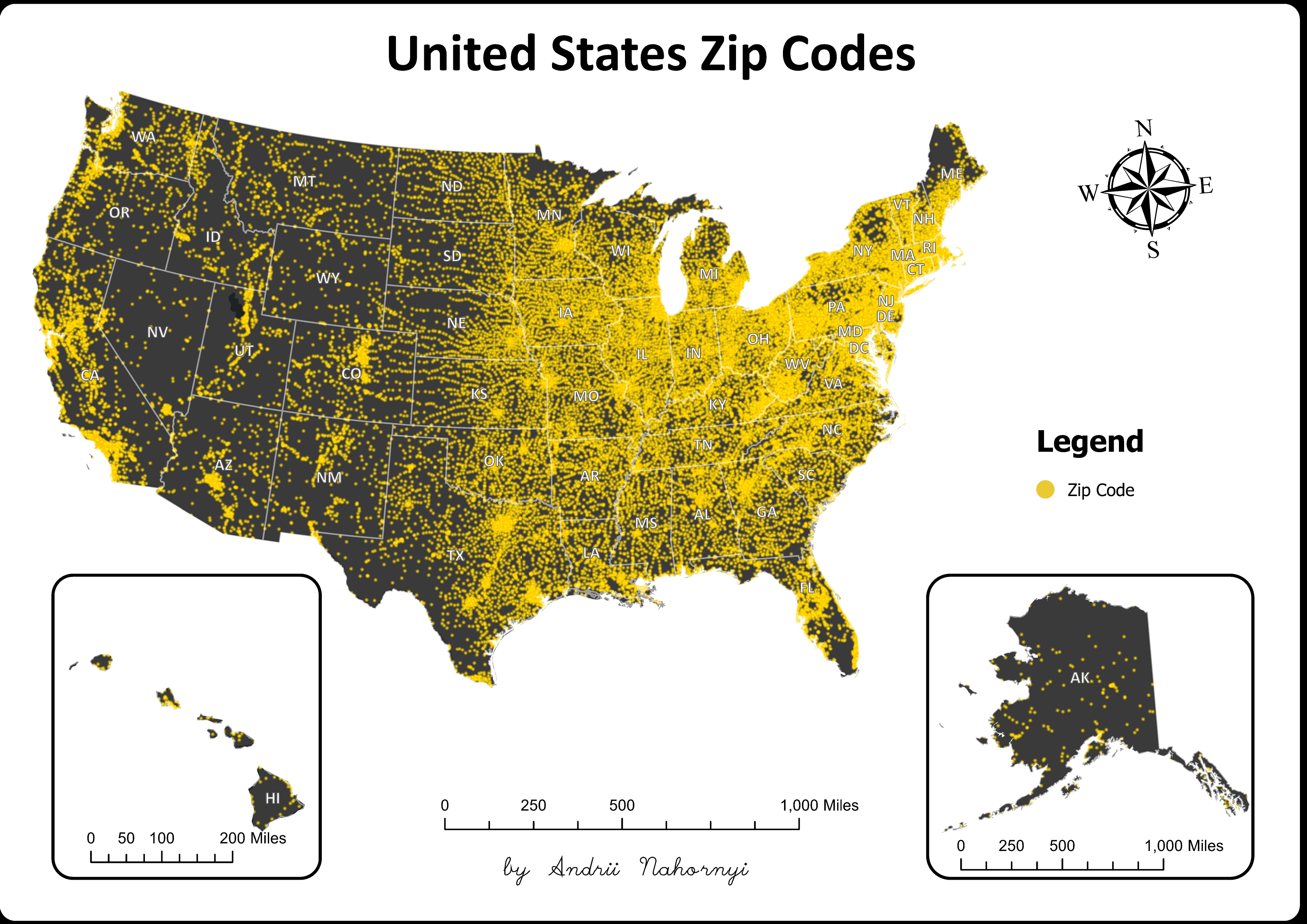
- Description: This map showcases the distribution of ZIP codes across the United States, offering a comprehensive overview of postal regions and their boundaries. Through density markers, it delineates areas with varying densities of ZIP codes, providing insights into population distribution, urbanization patterns, and regional demographics across the diverse landscapes of the USA.
