
About

GIS Technician / Junior GIS Analyst
Technologist in Training with ASET
- Website: www.andriinahornyi.com
- Phone: +1 (403) 371-4046
- City: Calgary, Canada
- Degree: Bachelor of Science
- Email: andrii.nahornyi.ca@gmail.com
- Freelance: Available
I'm a GIS enthusiast with a knack for spatial data analysis, ArcGIS, and data visualization. I'm really into remote sensing and environmental science, always excited to learn new things and use that knowledge to make a difference. In my spare time, I collect National Geographic magazines, travel (I’ve already explored 11 countries), play GeoGuessr, and explore classical literature and music that cater to enthusiasts like me.
Skills
*100% represents a high level of expertise, typically achieved with around 5 years of experience.
Resume
Qualifications
GIS Technology Skills
- Proficient in conducting spatial analysis, data collection, and database management using industry-standard GIS software.
- Applies advanced remote sensing techniques to interpret and analyze aerial and satellite imagery for project-specific requirements.
- Experienced in GPS and surveying techniques, enabling precise data collection and spatial accuracy to support high-quality GIS analysis and mapping projects.
- Proficient in gathering, organizing, digitizing, manipulating, creating, analyzing, and interpreting technical and large-scale linear geospatial data.
- Excellent cartographic skills with in-depth knowledge of coordinate systems and geographic projections theory and principles.
GIS Software Skills
- Experienced in using the ESRI ArcGIS technology suite including: ArcGIS Online, ArcGIS Desktop, ArcGIS Pro, Field Mobility tools, WebApp Builder, and ModelBuilder
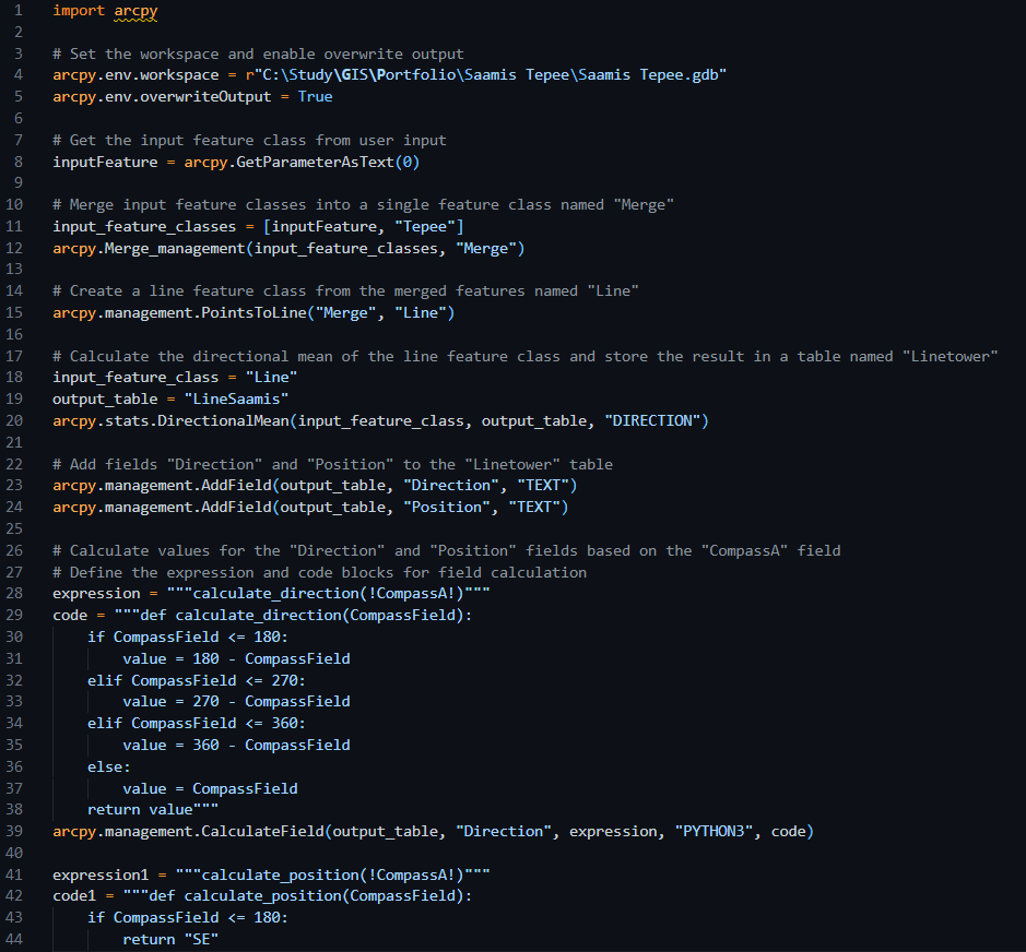
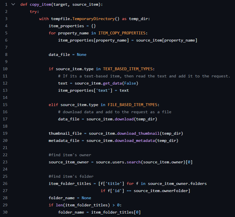
- Implements GIS tools and scripts using Python, automating repetitive tasks and increasing overall workflow efficiency.
- Employes the Feature Manipulation Engine (FME) to translate and process spatial and other data for project-specific needs.
- Well-versed in designing and managing geodatabases, utilizing SQL to support data analysis, storage, and ensure data integrity.
- Conducts complex spatial analysis using ArcGIS Pro, ArcGIS Online, Mapbox, Google Earth Engine, QGIS, and various extensions to identify geographic data patterns, trends, and anomalies.
- Organizes, updates, and maintains geospatial data in PostGIS databases, following best practices, QA/QC standards, and guidelines.
- Processes drone imagery and spherical photos to create panotours and HTML-based websites.
- Utilizes Global Mapper software to work with DEMs, orthophotos, and LiDAR datasets.
Education
Technologist in Training
September 2024 - Present
The Association of Science & Engineering Technology Professionals of Alberta
Bachelor of Science, Geomatics
September 2020 - May 2023
Technical University of Kosice, Slovak Republic
Relevant Experience
Survey Assistant
December 2023 - May 2024, May 2025 - Present
Global Raymac Surveys Inc.
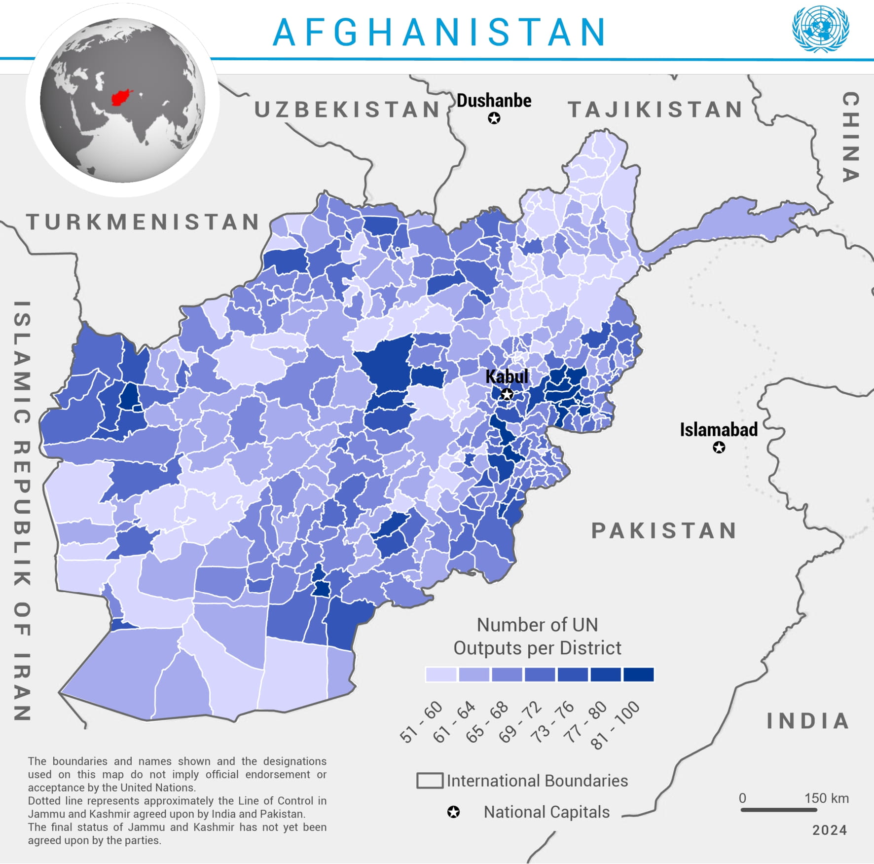
GIS Assistant (Volunteer)
December 2024 - April 2025
United Nations Development Programme
Project contributor (Volunteer)
June 2024 - Present
GIS Association of Ukraine (GISA-UA)
Survey Assistant
July 2024 - October 2024
Measurement Sciences Inc.
Geomatics Technician (Internship)
June 2022 - August 2022
GeoGlobal s.r.o.
Languages


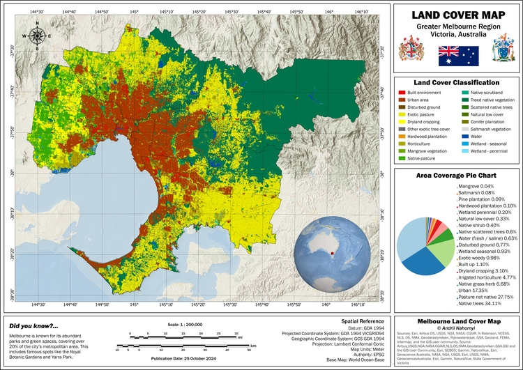
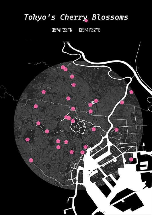
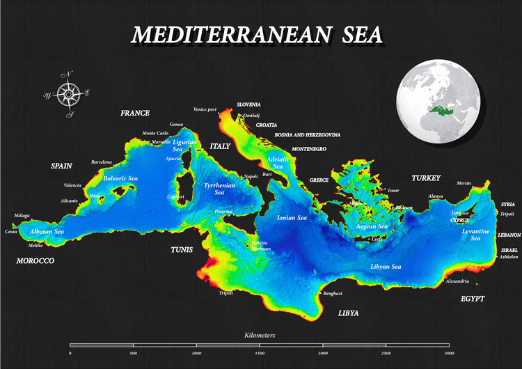
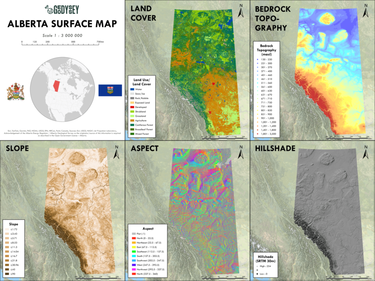
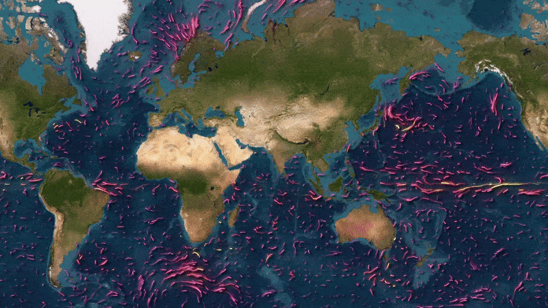
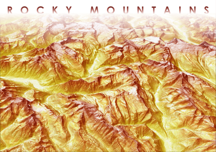
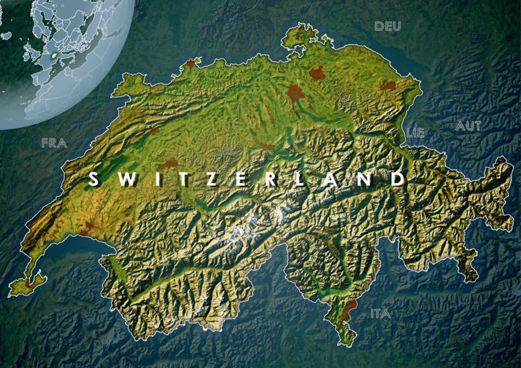
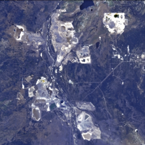
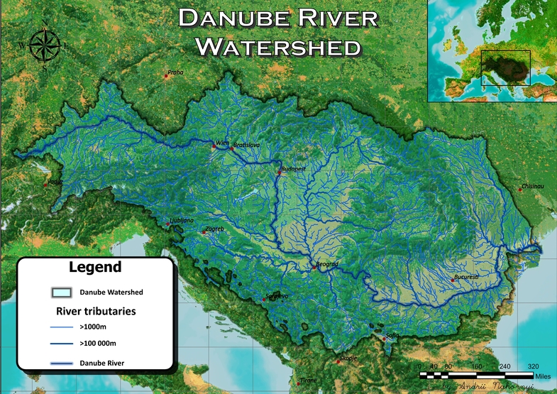
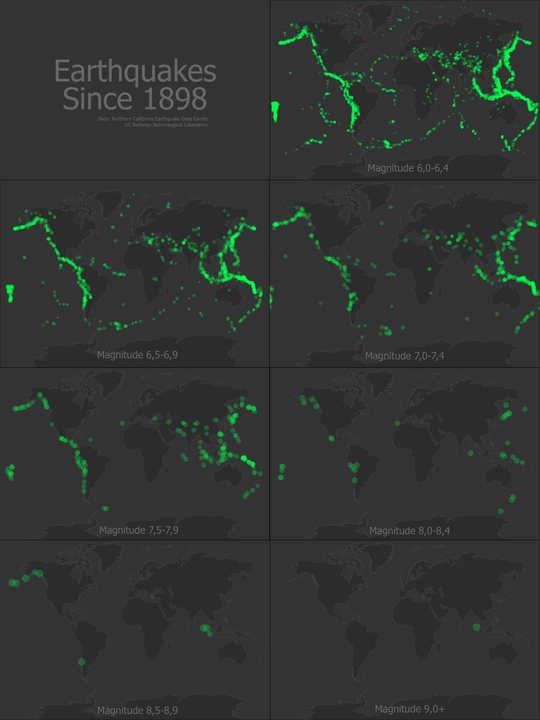
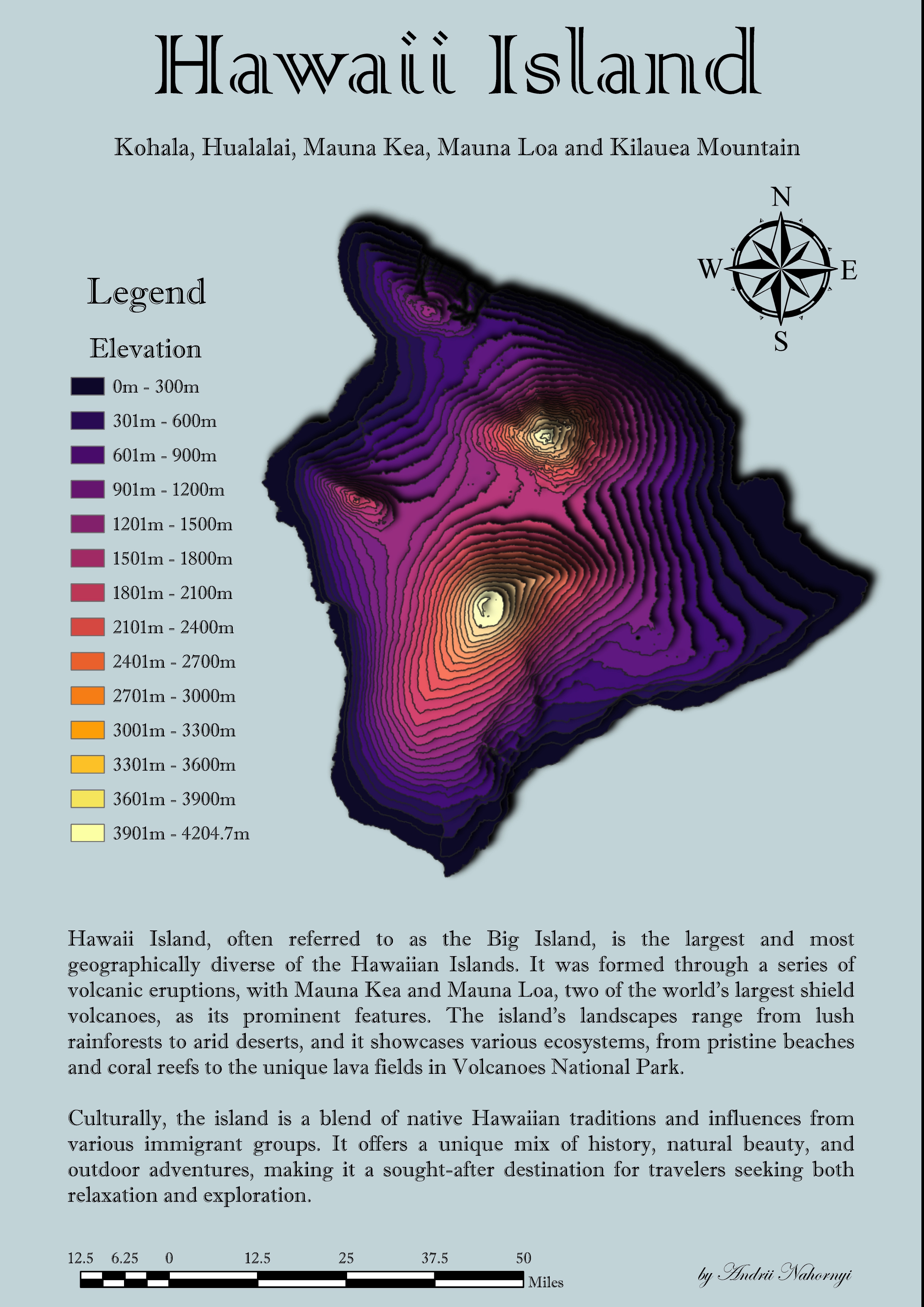
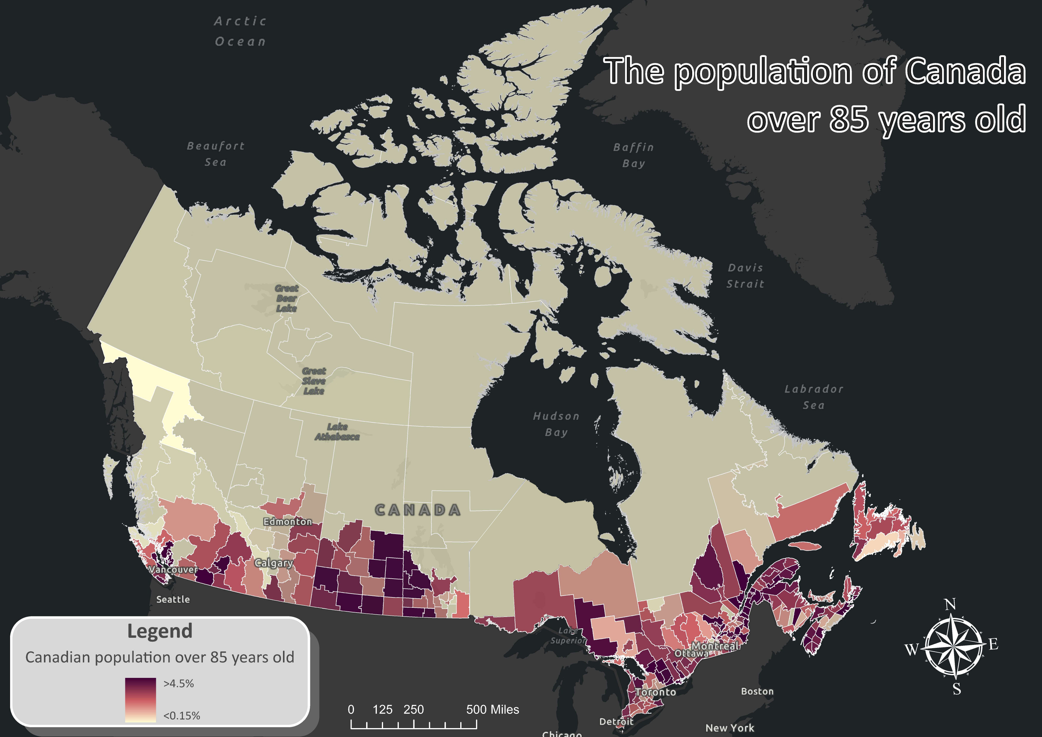
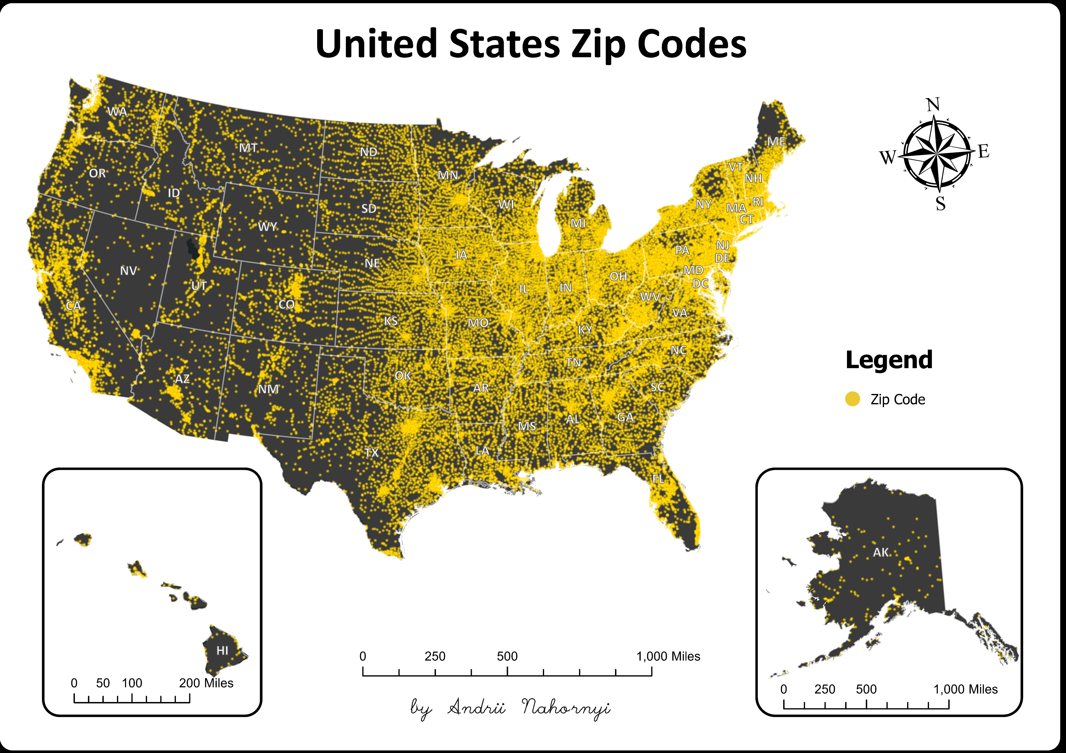
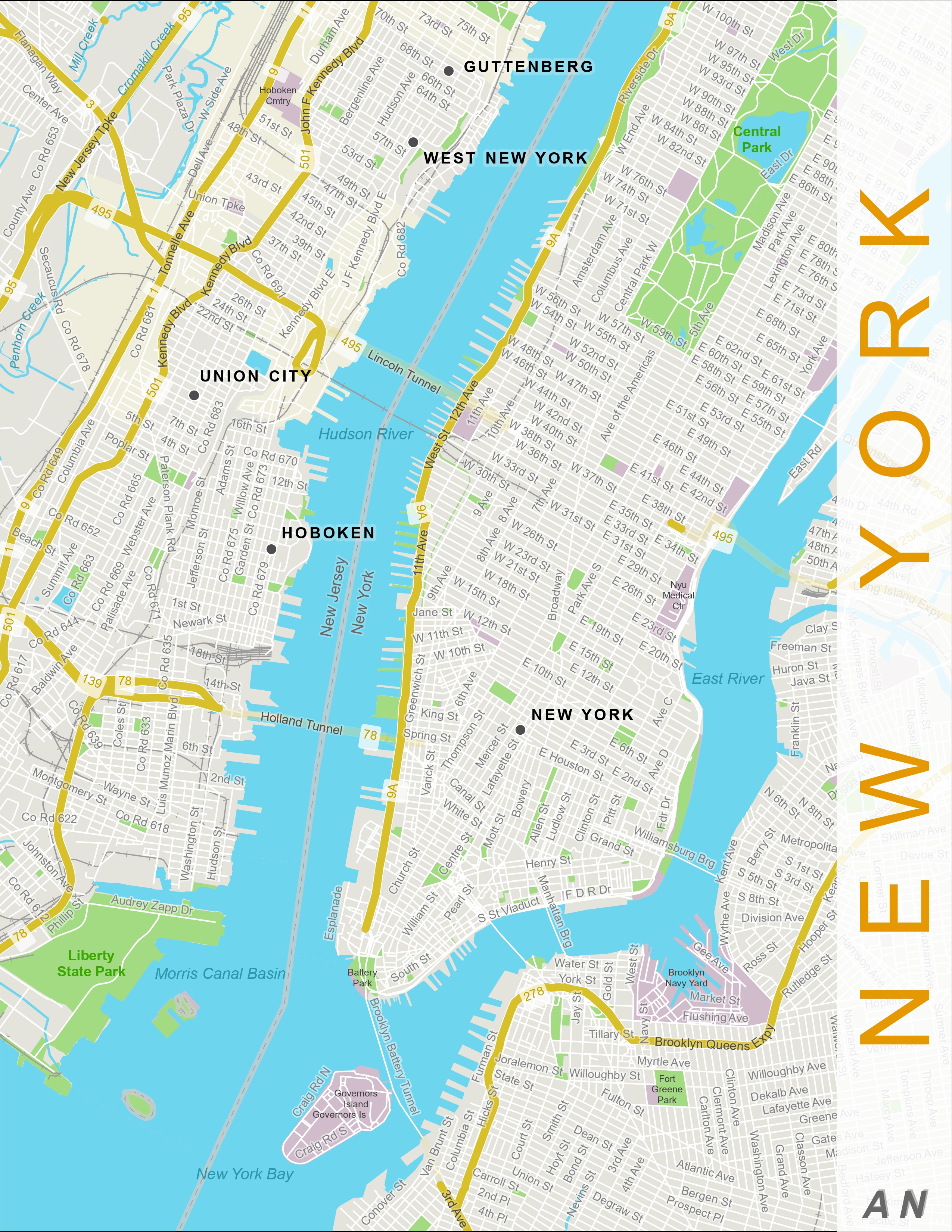
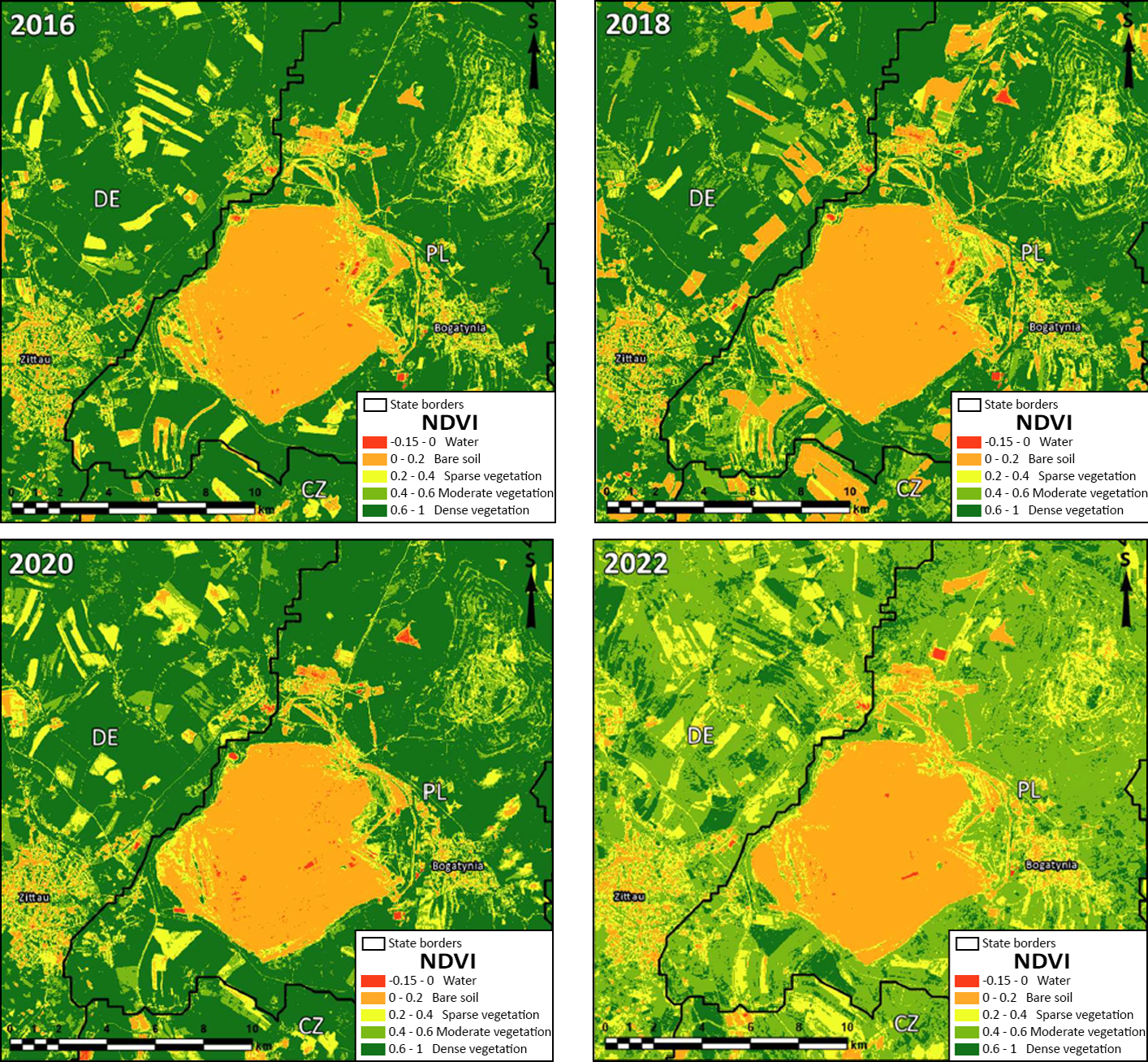
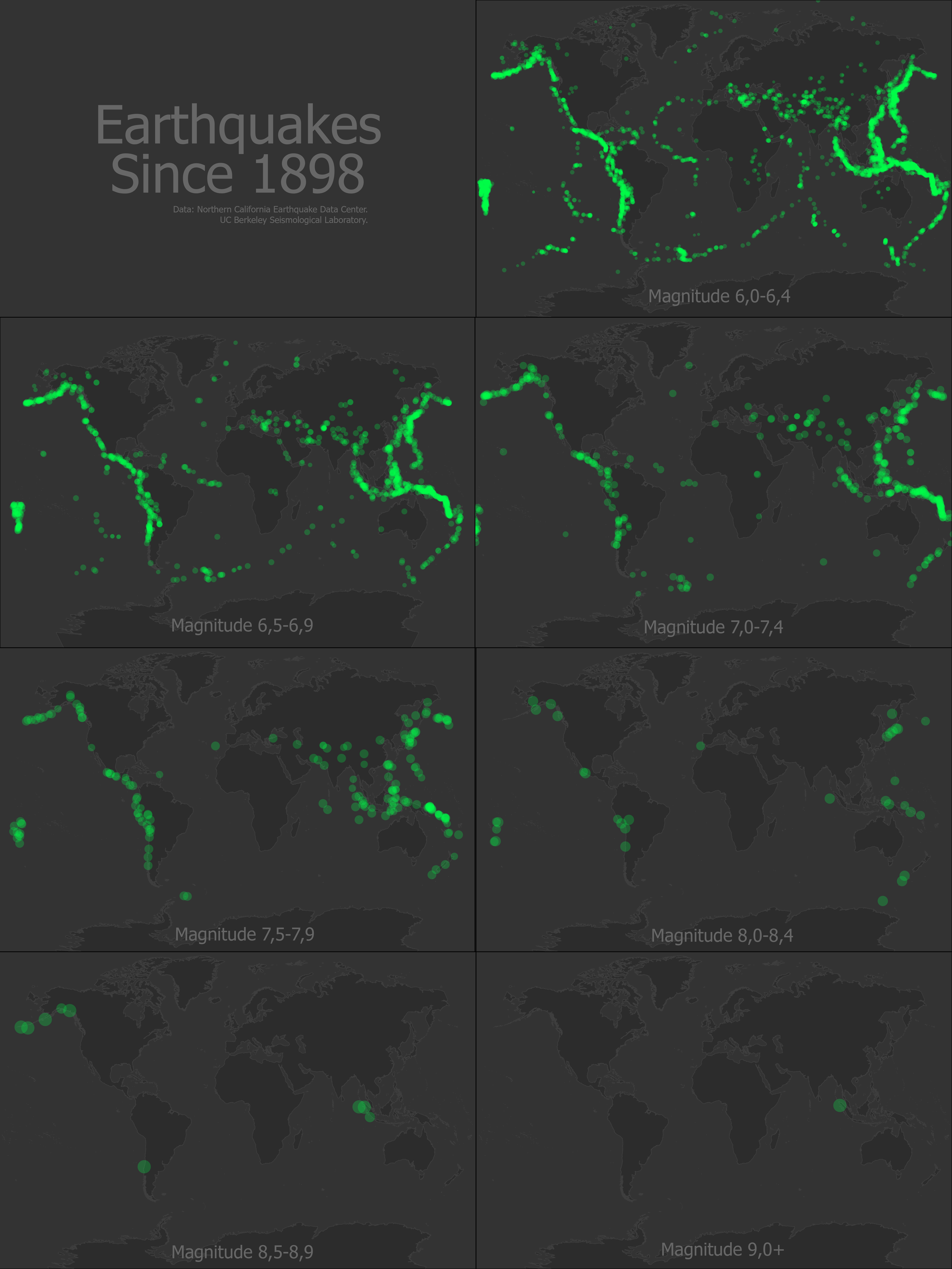
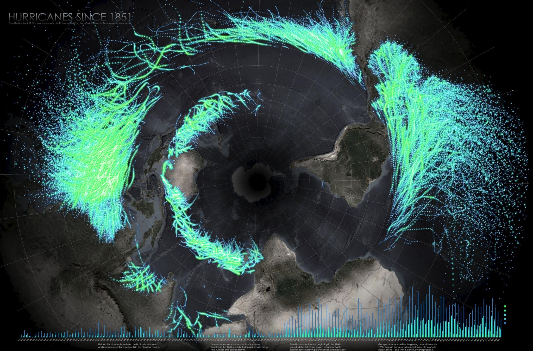
Map of The Projects
Certificates
I am an adept at lifelong self-education, constantly seeking new knowledge and skills to enrich my understanding of the world. Whether through books, online courses, or hands-on experiences, I embrace opportunities to learn and grow.
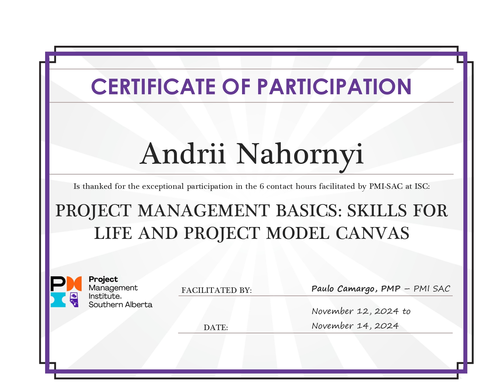
Basic Project Management
Project Management Institute
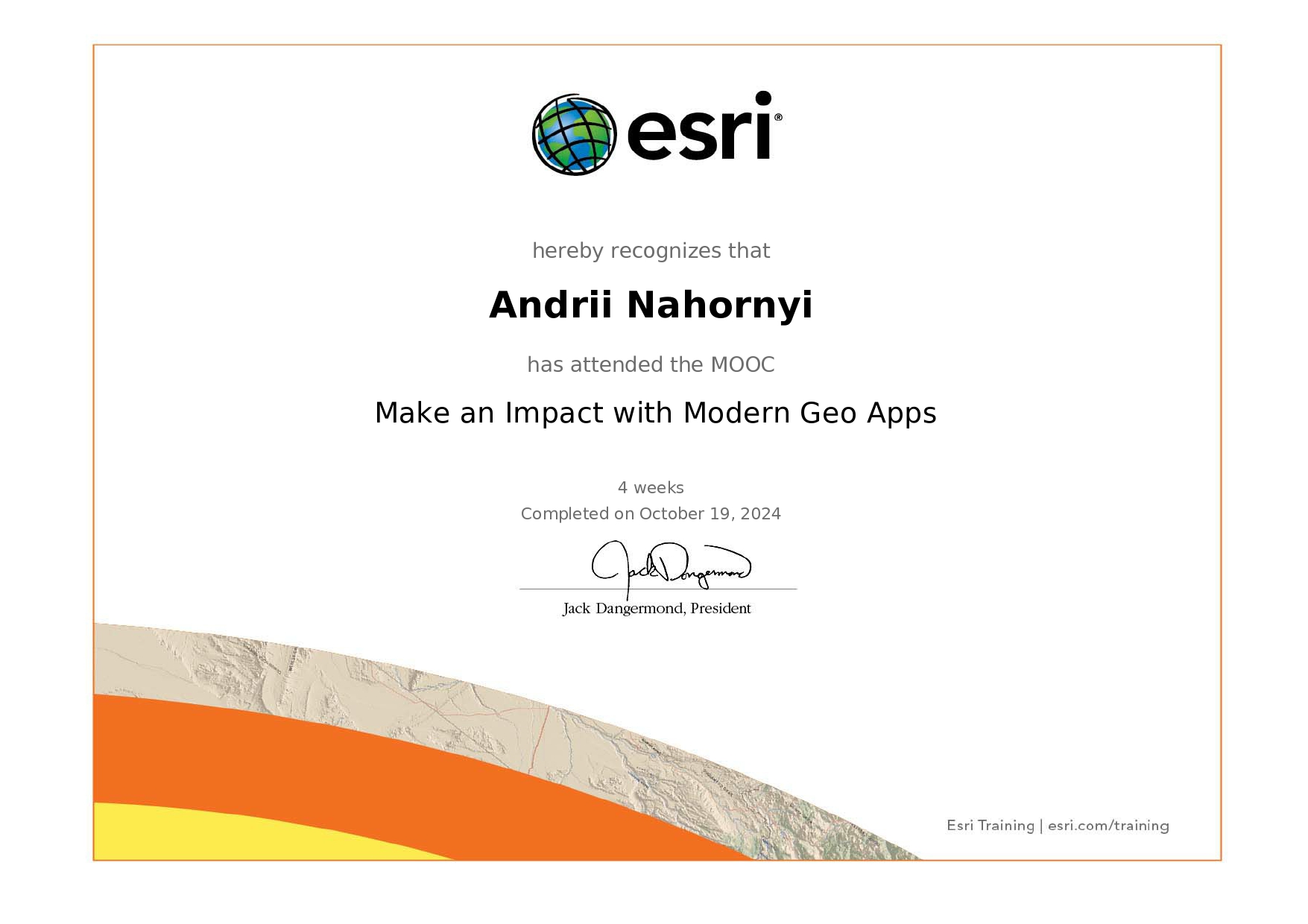
Make an Impact with Modern Geo Apps
Environmental Systems Research Institute, Inc.
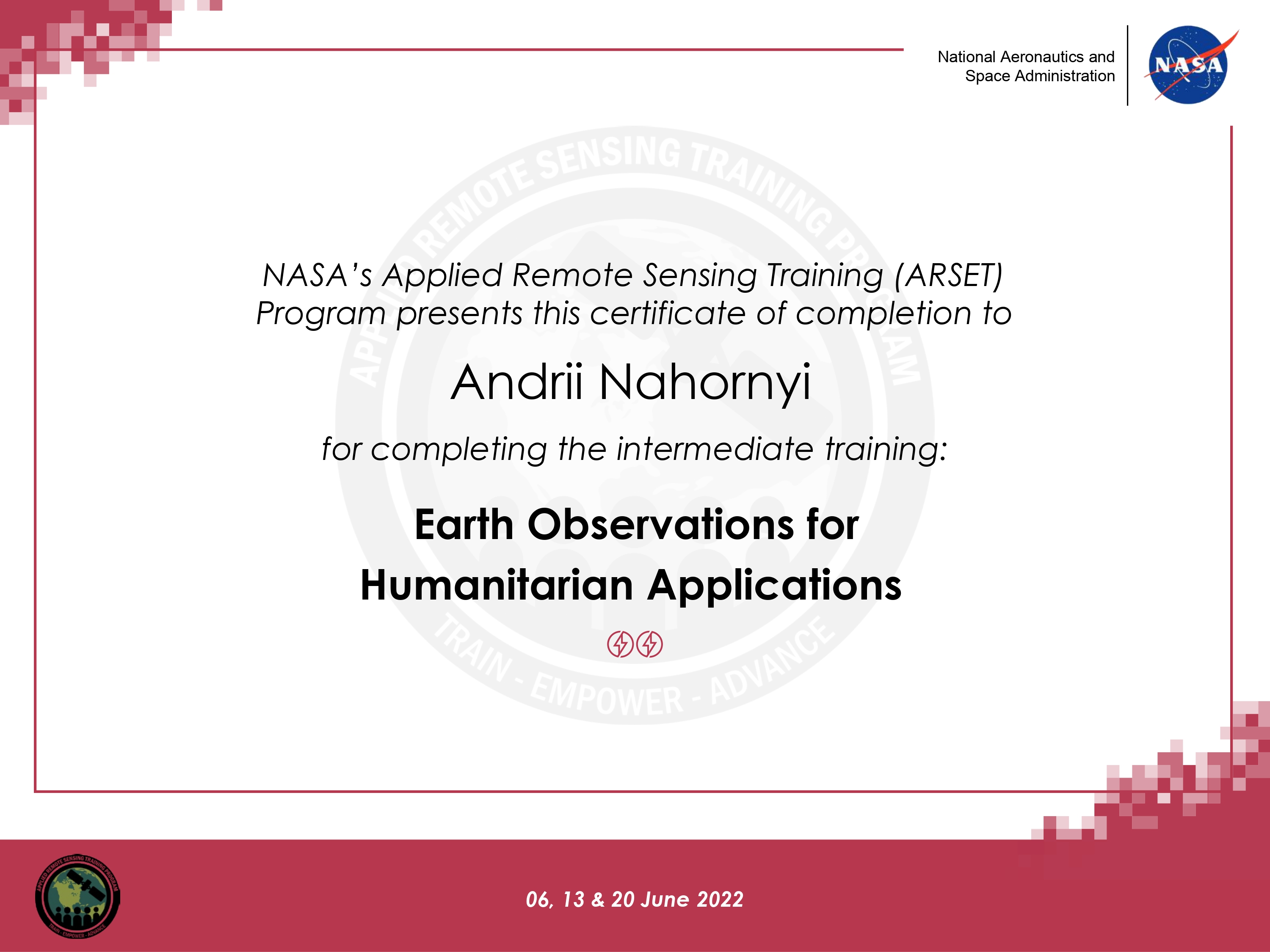
Earth Observations for Humanitarian Applications
NASA's Applied Remote Sensing Training
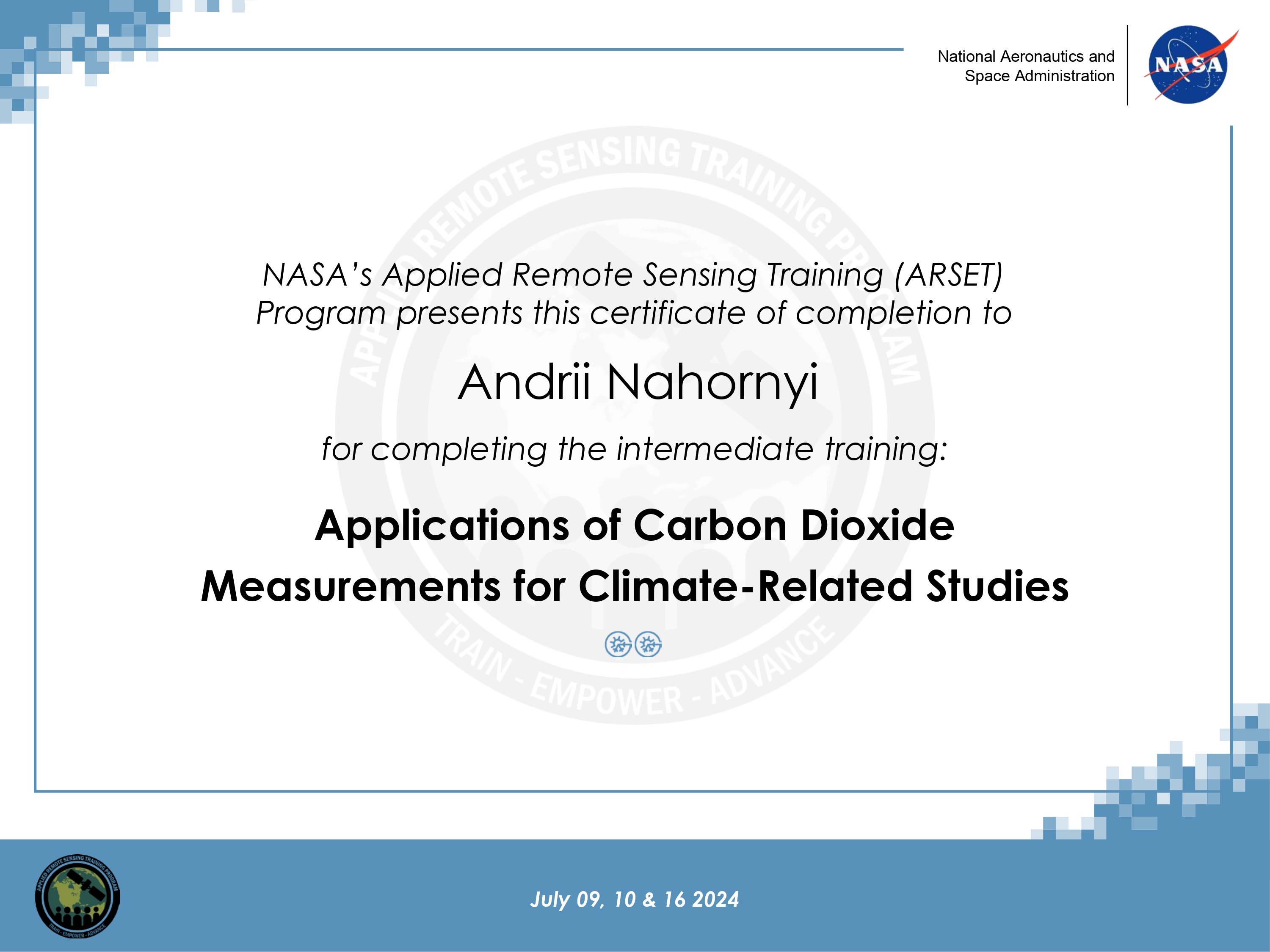
Applications of CO2 Measurements for Climate-Related Studies
NASA's Applied Remote Sensing Training
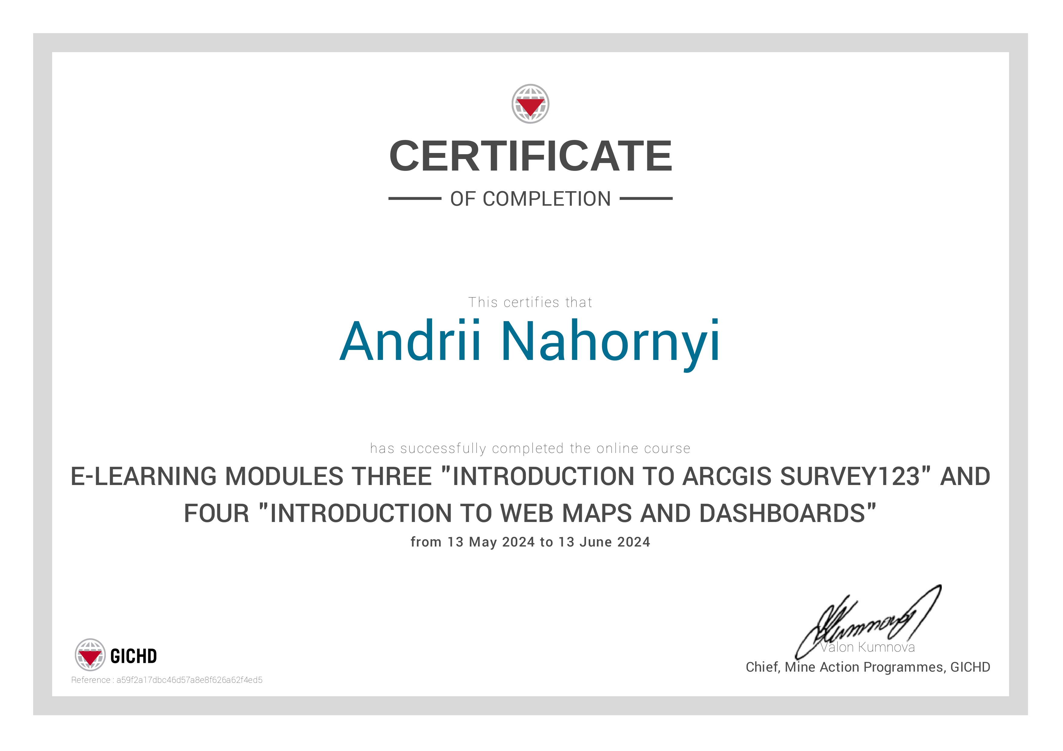
Introduction to ArcGIS Survey123, Web Maps and Dashboards
Geneva International Centre for Humanitarian Demining

FME Desktop: Data Translation for AEC
LinkedIn Learning
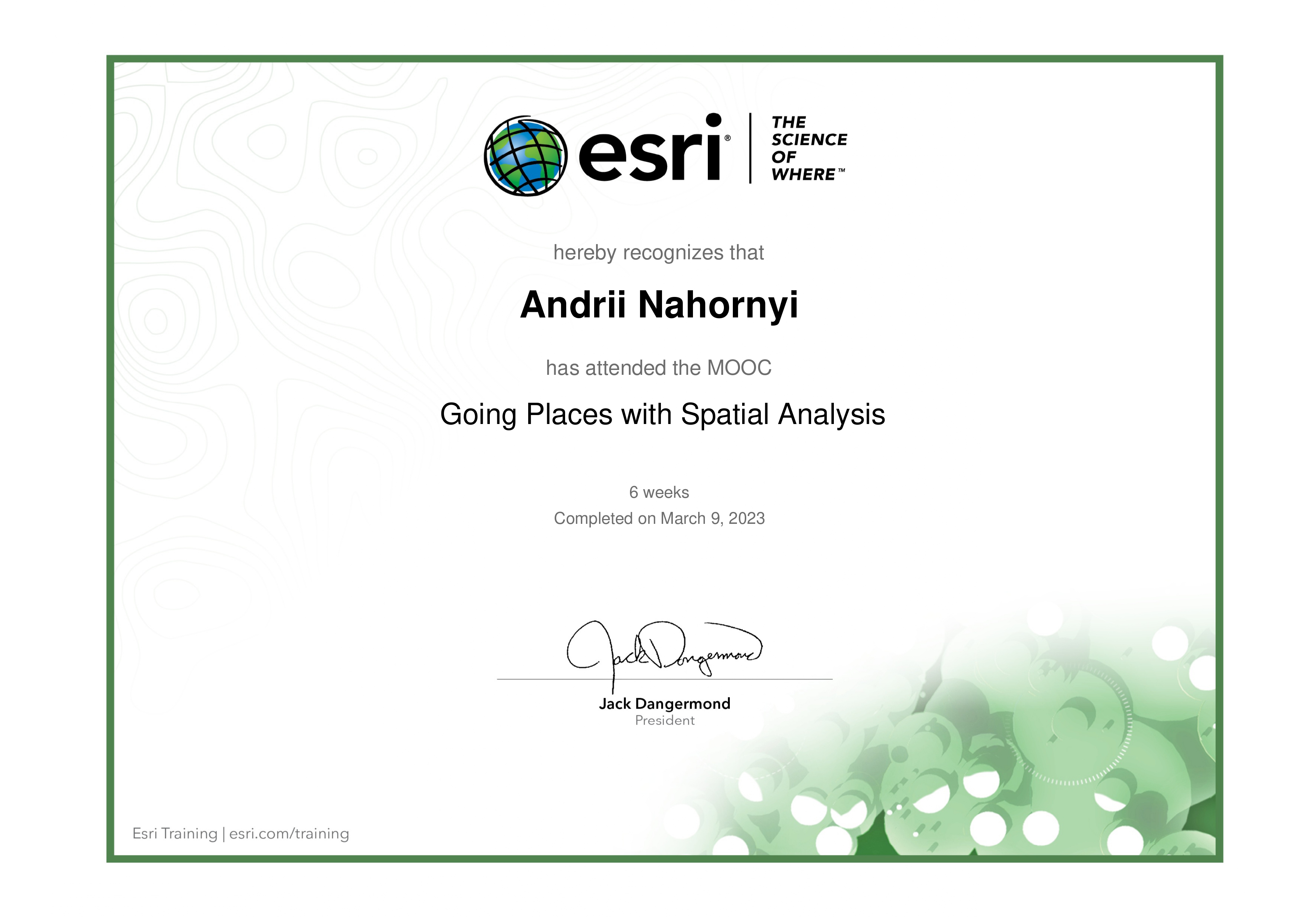
Going Places with Spatial Analysis
Environmental Systems Research Institute, Inc.
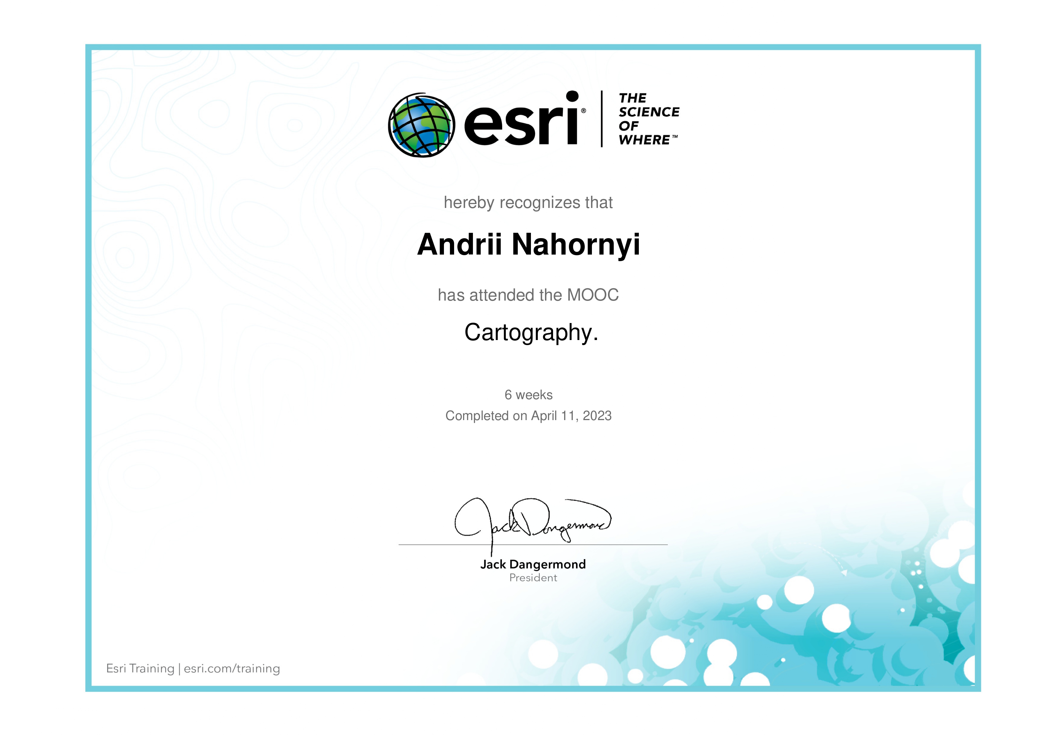
Cartography
Environmental Systems Research Institute, Inc.
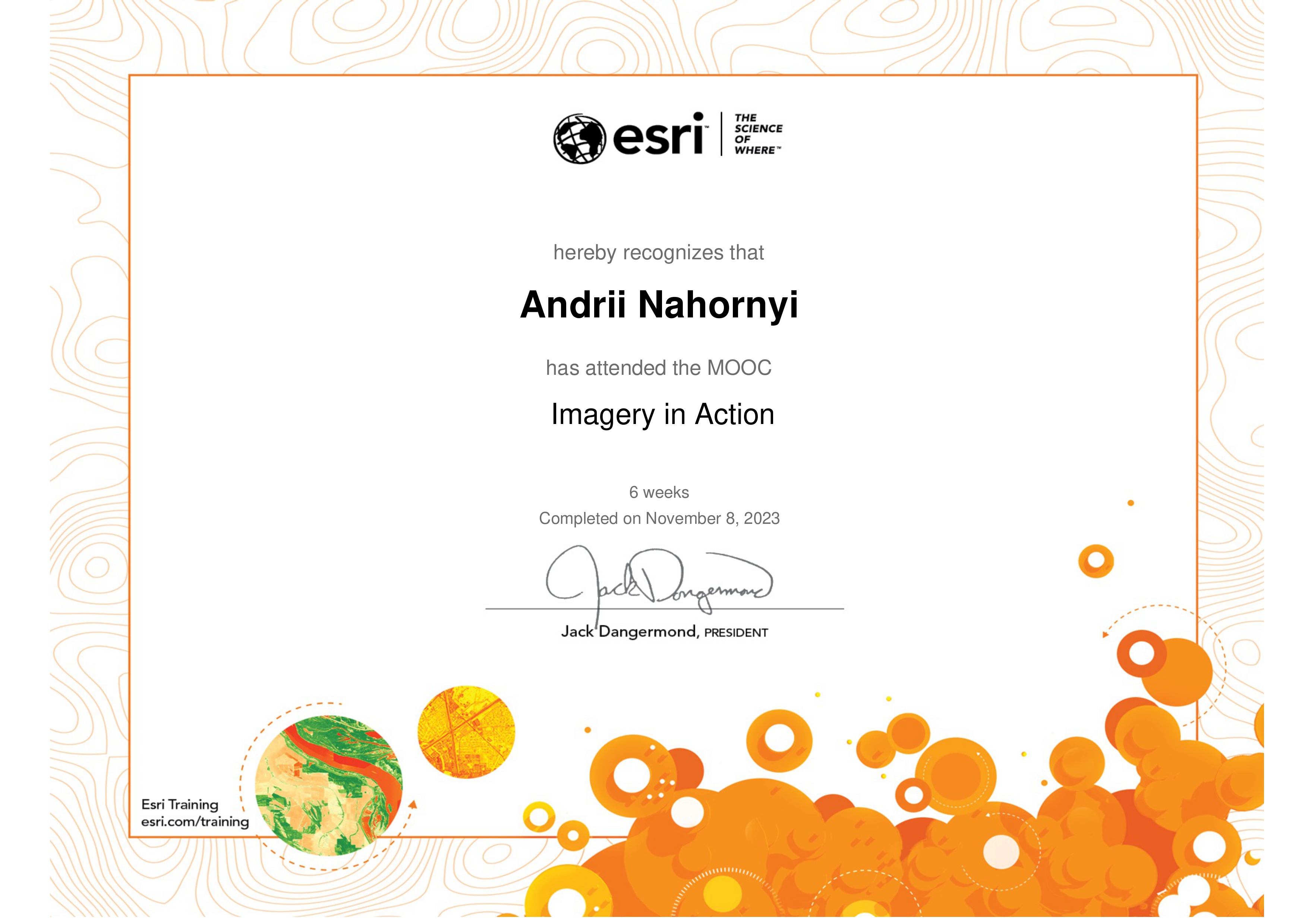
Imagery in Action
Environmental Systems Research Institute, Inc.
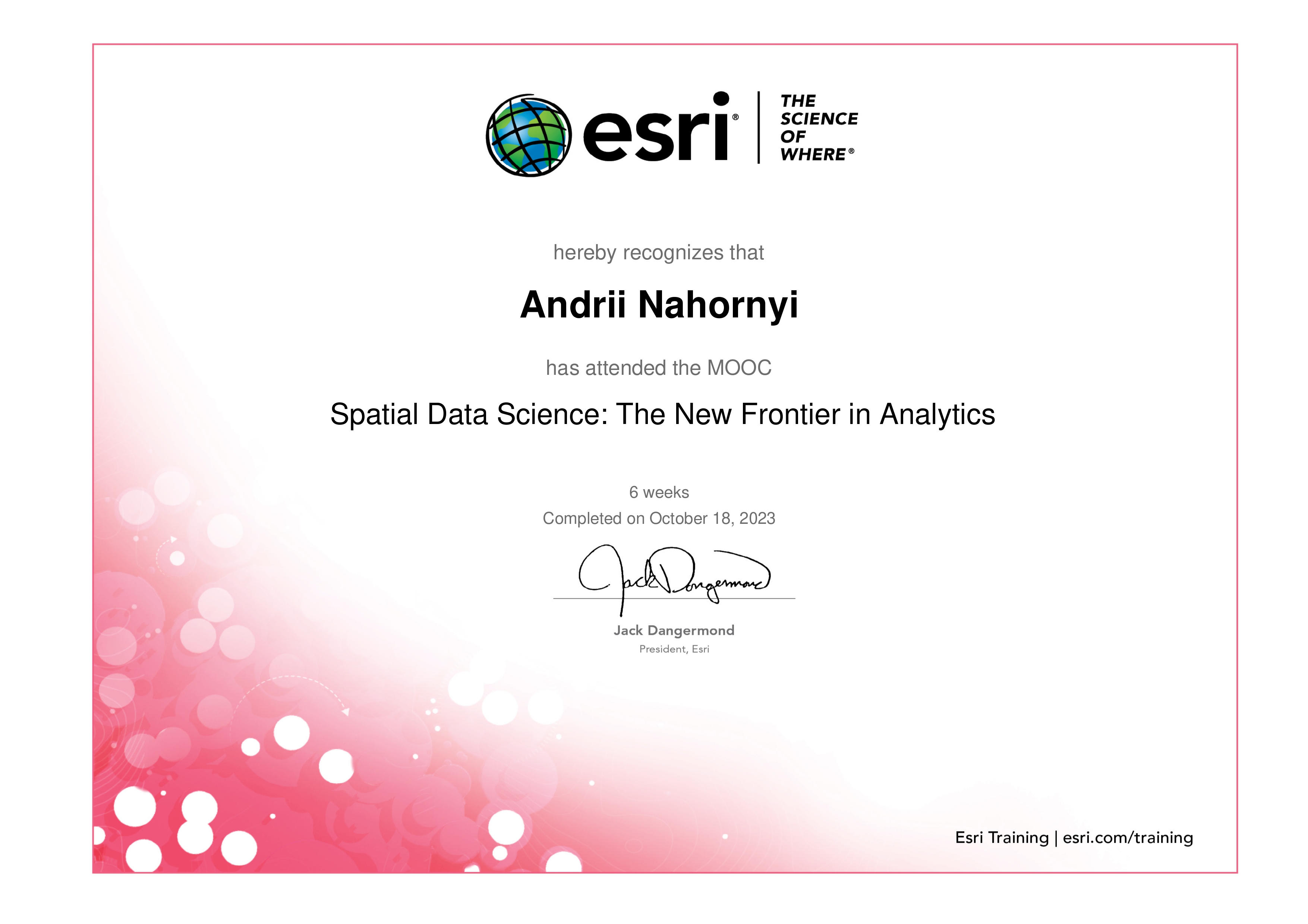
Spatial Data Science
Environmental Systems Research Institute, Inc.
Transform AEC Projects with GIS and BIM
Environmental Systems Research Institute, Inc.
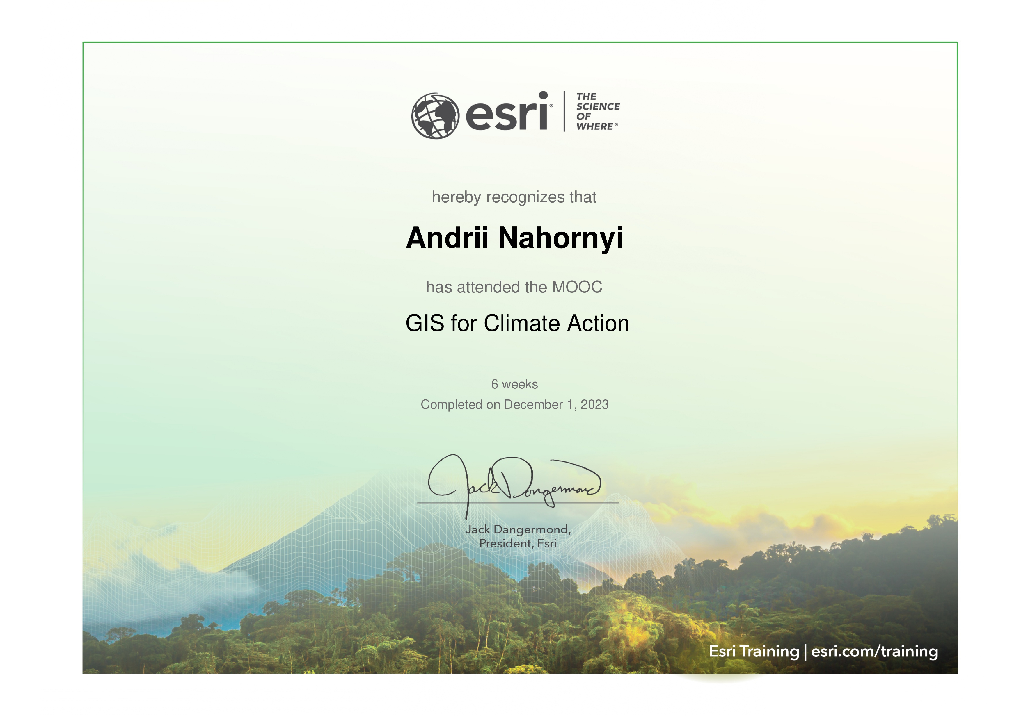
GIS for Climate Action
Environmental Systems Research Institute, Inc.
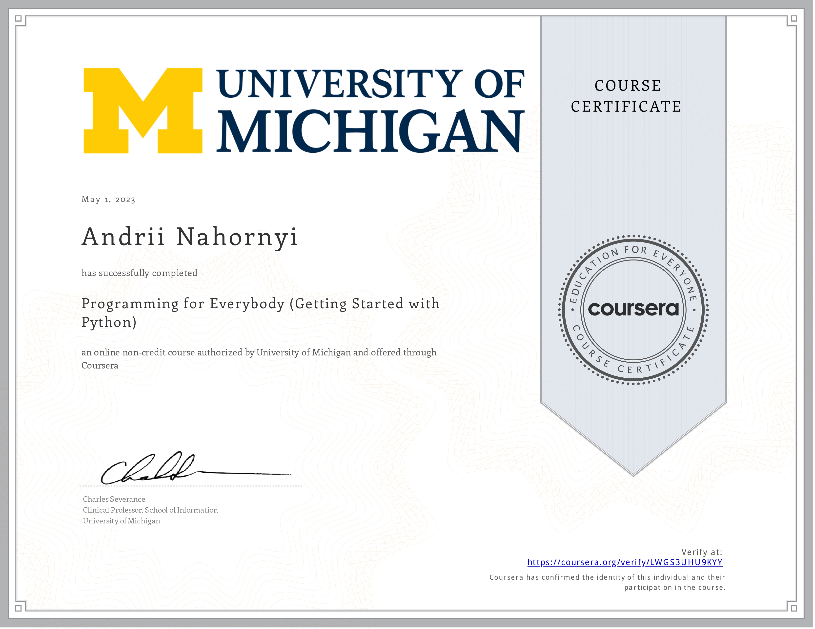
Getting Started with Python
University of Michigan
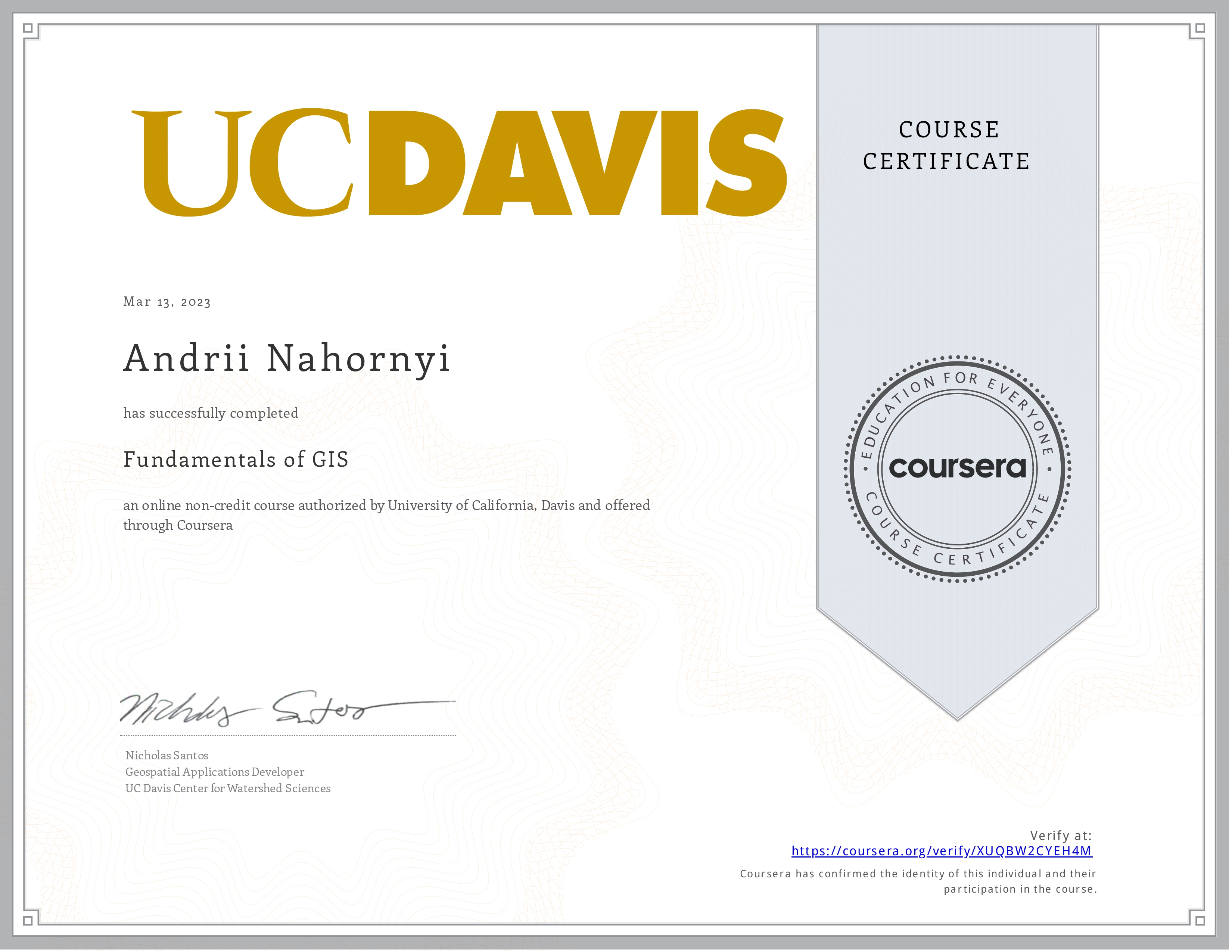
Fundamentals of GIS
University of California, Davis
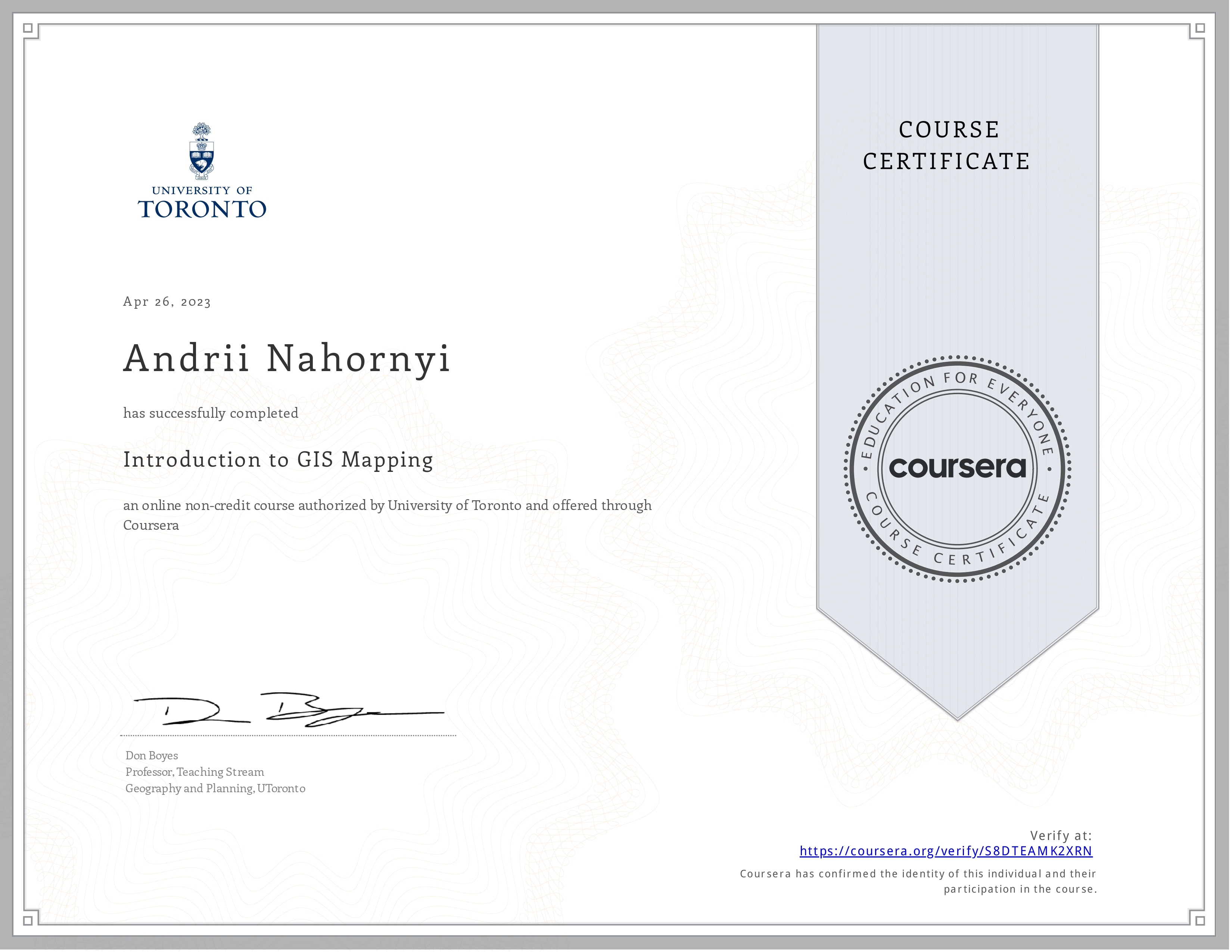
Introduction to GIS Mapping
University of Toronto
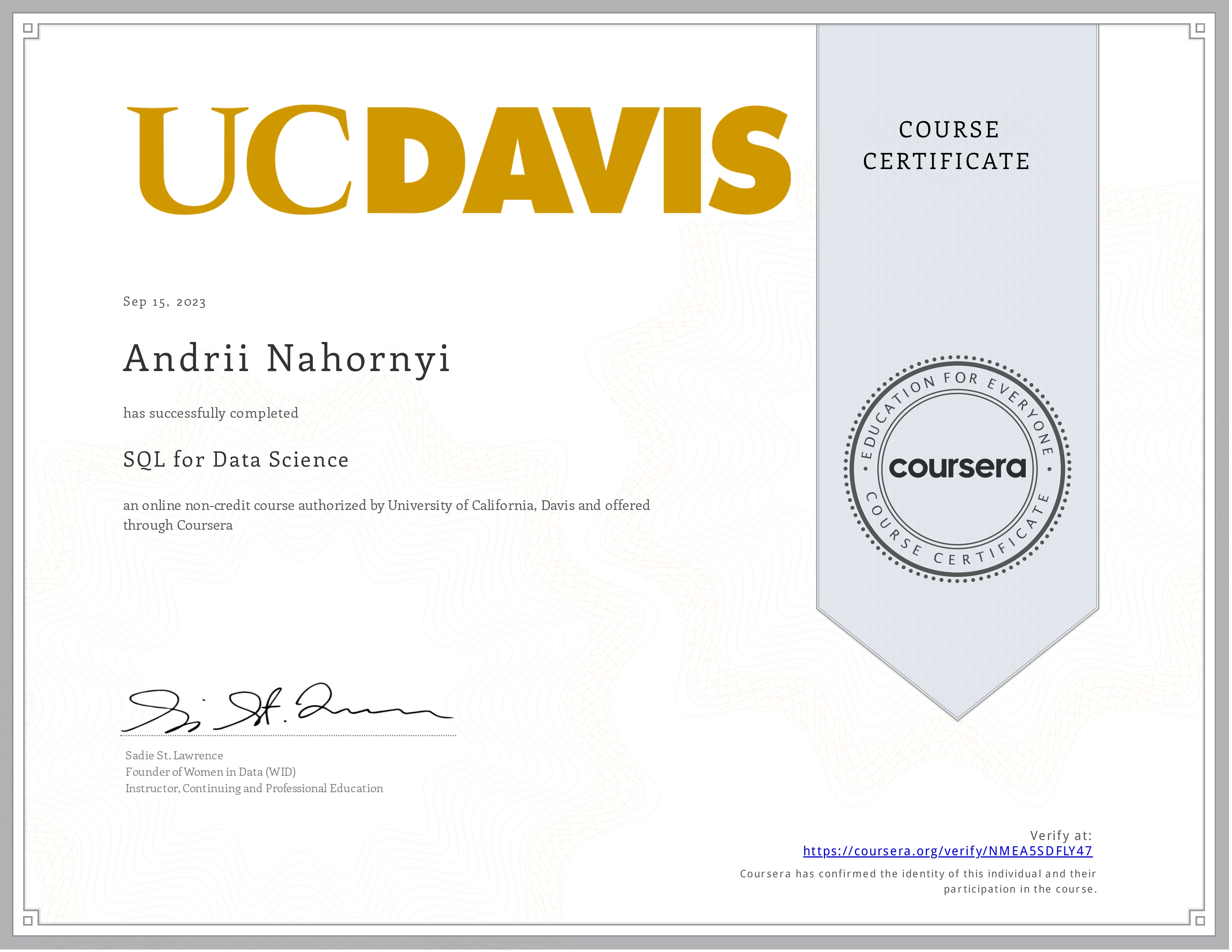
SQL for Data Science
University of California, Davis

Autodesk Certified Professional
Autodesk
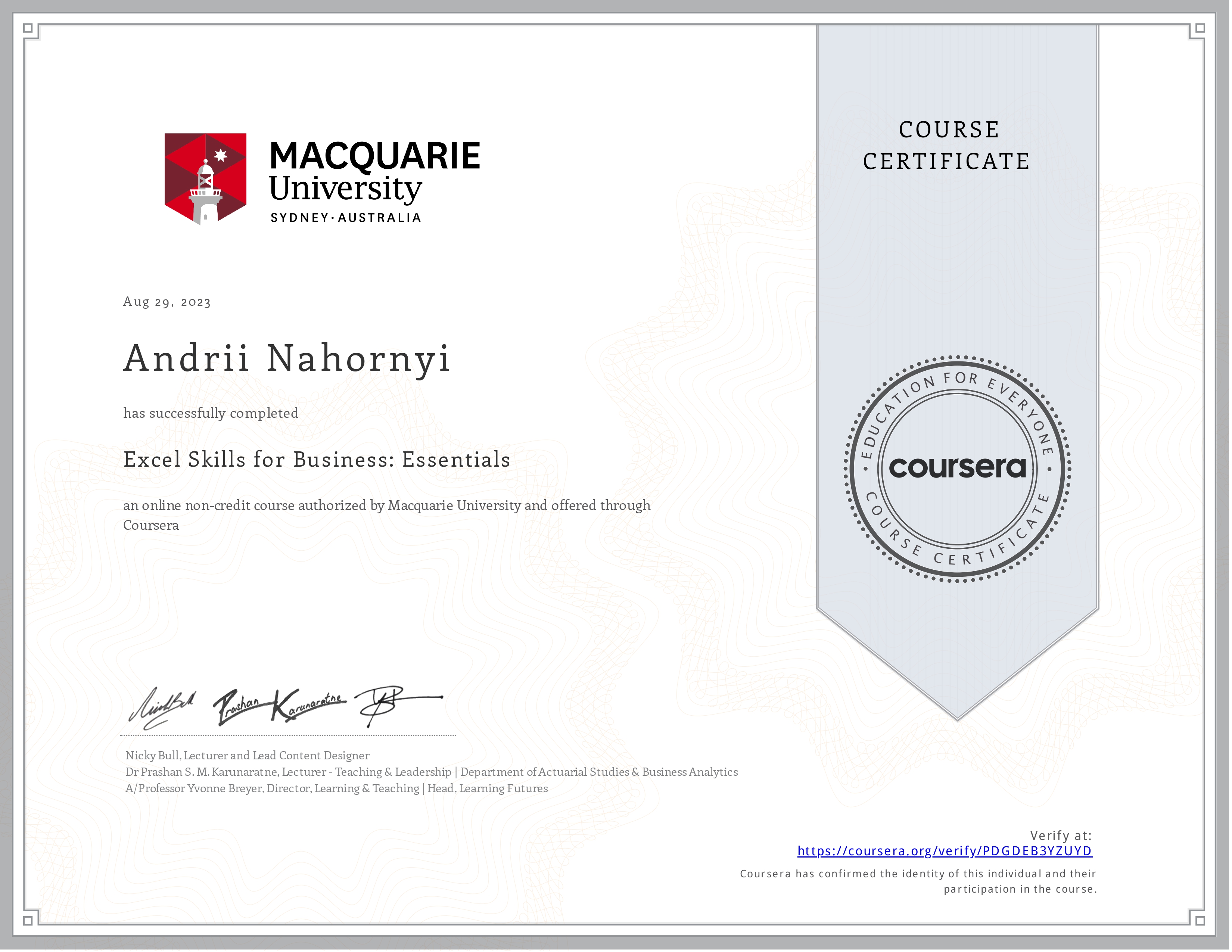
Excel Skills for Business. Essentials
Macquarie University
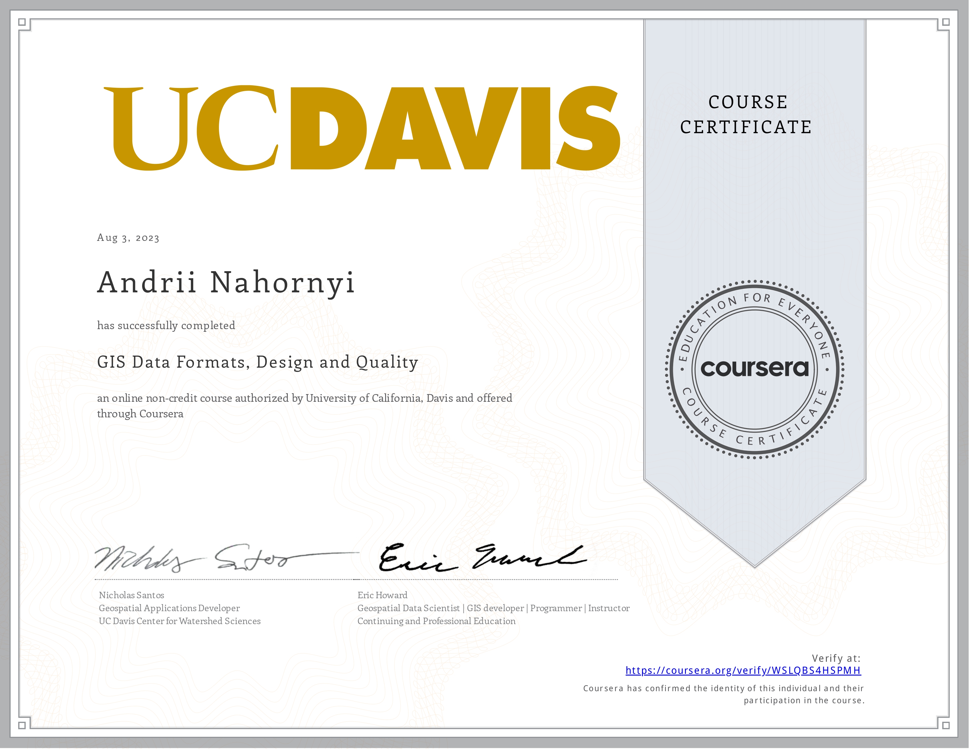
GIS Data Formats, Design and Quality
University of California, Davis

Python Data Structures
University of Michigan
Contact
Location:
T2P 2T4, Calgary, AB
Email me:
andrii.nahornyi.ca@gmail.com
Call me:
+1 (403) 371-4046